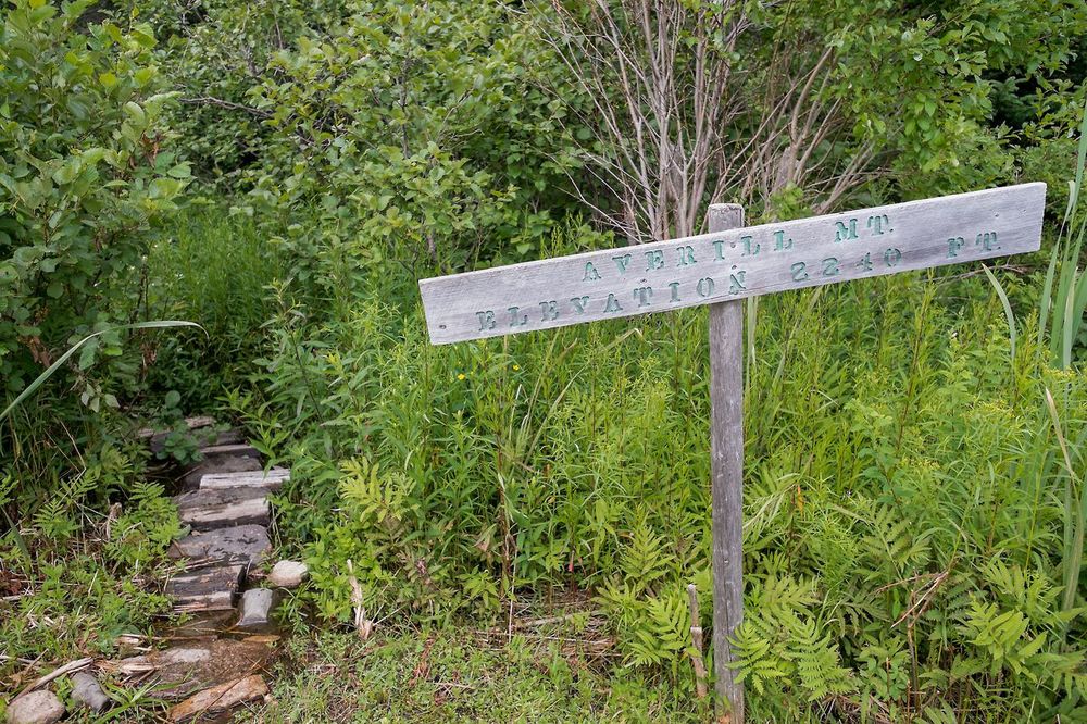
Averill Mountain is a short, scenic, rewarding hike to a height of 2,240 ft. At just under 3/4 of a mile, this is considered an easy to moderate hike. The view from the top is definitely worth the climb. Once at the top, it levels out on a large rock outcropping overlooking Big Averill Lake and its neighboring mountain, Brousseau Mtn., plus the White Mountains to the east and Green Mountains to the west dominated by Jay Peak. The ledges make for a perfect picnic spot!
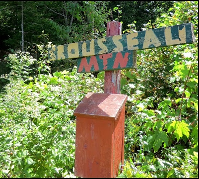
Brousseau Mountain is a short, but beautiful hike (most everyone’s favorite!). At 2,723 feet, it’s not the tallest mountain in the area, and depending on your hiking level can take anywhere from 30-45 minutes to reach the top; difficulty – easy to moderate. The 0.7 mile one way trail leads into a recently cut forest, transitioning from deciduous to balsam fir forested peak with some points traversing wooden planks, and others that are granite bedrock inclines. The peak gives a beautiful site of Little Averill Lake, the endangered Peregrine Falcon nesting on the cliffs, a spectacular talus field at the base of the sheer cliffs, and a vast vista of forty miles of wilderness overlooking the Nulhagen Basin and Silvio O. Conte National Wildlife Refuge, White Mountains to the east, and Green Mountains to the west.
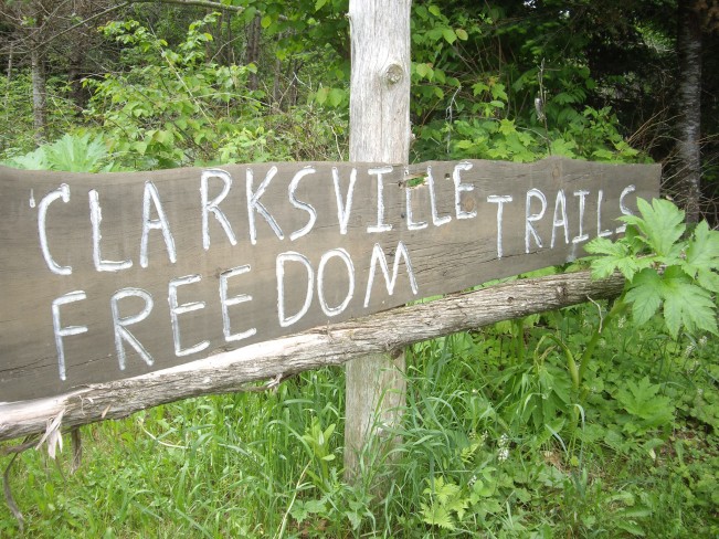
The Clarksville Freedom Trails are a length of trails in the Pittsburg-Clarksville area. Stretching about a mile long, this trail goes in loops in some areas, and can range from extremely easy to those reserved for intermediate hikers. These paths however are kept clear enough for someone in a wheel chair to traverse easily.
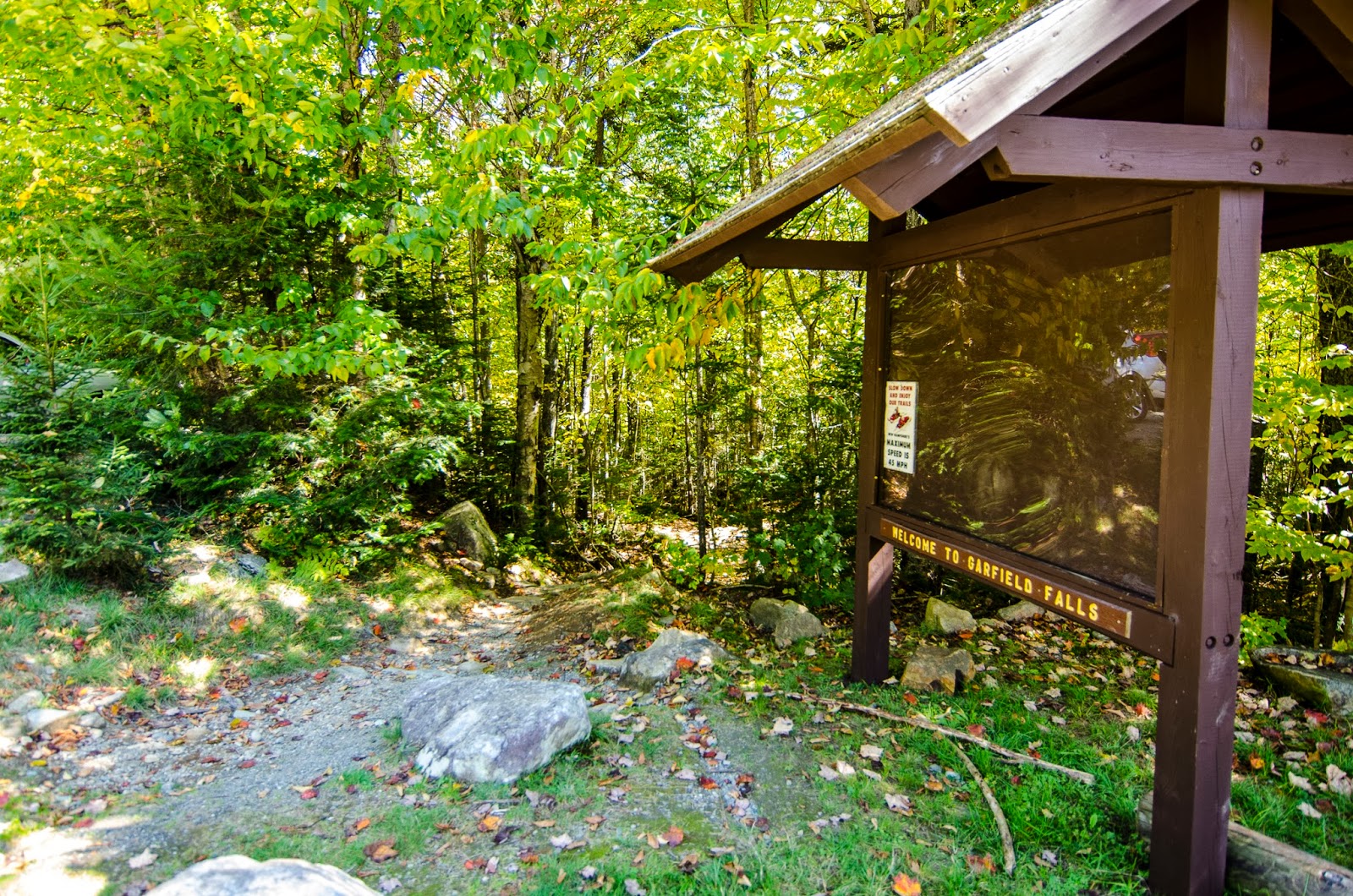
Garfield Falls is a picture of beauty in Pittsburg, New Hampshire. When you get to the trail head (the trail itself is about 3/10 of a mile), you follow a clear path down to the waterfall. You come out on a platform, and there are wood steps leading down to different landings so you can look at the falls from many different angles, before coming out on the bottom, where lies inviting clear mountain stream pools (perfect for a swim or wading if you have a dog companion).
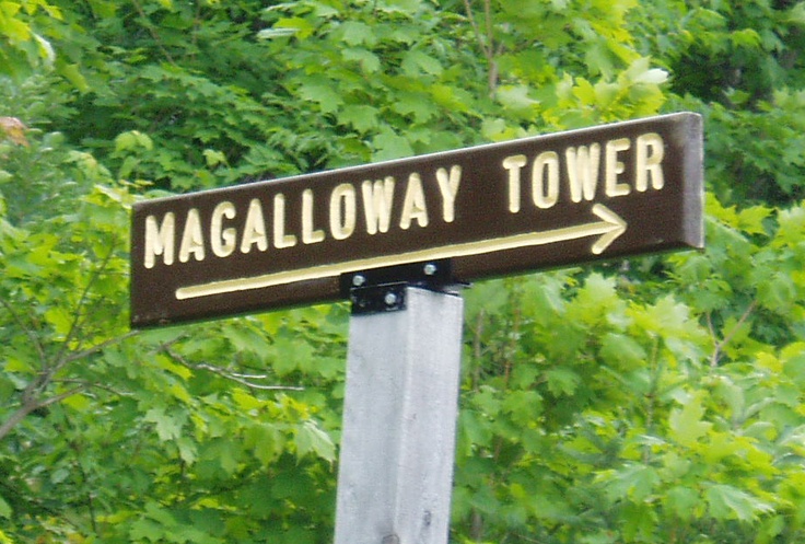
Mount Magalloway is a hike just before Garfield Falls. At 3,360 feet tall, the hike itself is fairly easy and offers vast views from a ranger hut and fire tower. Marvel at the grand vista of the wilderness Connecticut Lakes to the west, and Lake Umbagog in Maine to the east.
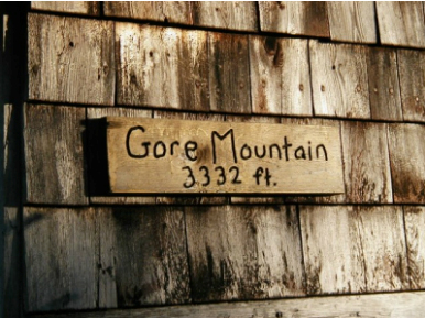
Gore Mountain is by far one of the larger mountains in the area, and is not recommended for beginner hikers. Reaching an elevation of 3,332 ft, this 4 mile, one way hike can take upwards of a few hours. The trail itself follows the original fire warden’s trail to the historic ranger hut (although the fire tower has been taken down). The trail meanders by creeks, brooks, abandoned beaver ponds; and once at the summit, there is a limited view of the Nulhegan Basin to the south. A tangent trail will take you to Middle Mountain and Unknown Pond. This is an excellent remote backcountry experience.
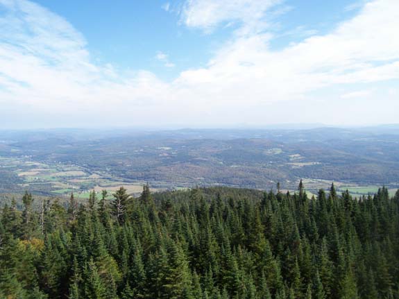
Monadnock Mountain begins moderately through a small meadow and continues into a young forest following a scenic brook, long log bridge, and rocky ledges. From there, the trail begins its persistent steep climb upward over rocky footing. At the summit, 3,150 ft., all that remains of the burned fire warden’s cabin is the chimney and foundation; but the fire tower is still functional and provides panoramic views of the Connecticut River Valley as well as Vermont’s Green Mountains and New Hampshire’s White Mountain Range. This trail is about 2.3 miles one way, fit for moderate & advanced hikers.
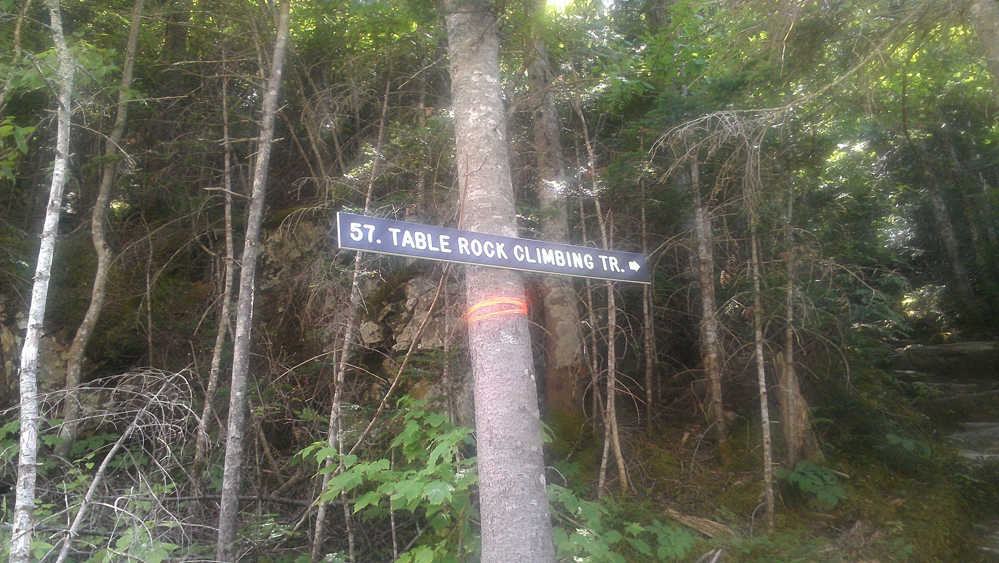
Table Rock is a rock outcropping no more than 10 feet across, that protrudes out over Dixville Notch, New Hampshire with a shear drop of 700 feet on either side (not for the faint of heart!). The view is amazing, with a straight line of view to the legendary Balsams Resort. At 2,540 feet, this hike is very steep, but ends with some amazing scenery.
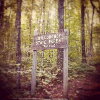
Mount Hor reaches an elevation of 2,648 feet and is a nice hike for those that find themselves in the Lake Willoughby area. The trail is about 2 miles long, although there are many break off points that will take you to some gorgeous outlooks. When you reach the summit you’re afforded a view of some ponds in the valley and the Green Mountains in the distance.
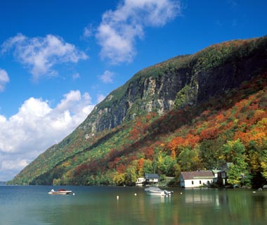
Mount Pisgah, aside Lake Willoughby (the most photographed site in Vermont), actually has a few different trails that you can explore; all of them are absolutely gorgeous when you get to the top. Each offers a view of the surrounding mountains (of which there are many), and the crystal-clear glacial lake below.


